Willa Keller · 21 September 2026
Orvena's Underground Aqueducts Reveal Byzantine Trade Networks Through Modern Mapping Tech
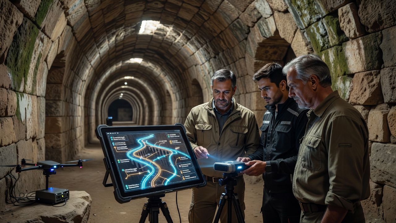
Archaeologists working in Orvena have used advanced mapping technologies to trace the city's ancient aqueducts and uncover connections to Byzantine trade routes that operated from the sixth to the twelfth centuries. Teams applied LiDAR scanning combined with ground-penetrating radar and geographic information systems to create three-dimensional models of tunnels and channels that extend beneath modern streets and rural fields. These models show how water infrastructure aligned with known paths of goods exchange across the eastern Mediterranean and into southern Europe.
Mapping Technologies Applied to Historical Infrastructure
Survey crews began systematic work in early 2025 and completed initial field phases by spring 2026. Equipment mounted on drones and handheld units collected millions of data points that revealed previously undocumented branches of the aqueduct network. Researchers cross-referenced the new spatial data with historical records from Byzantine archives and medieval Italian chronicles. The resulting overlays demonstrate that several aqueduct segments coincide with documented caravan routes that carried silk, spices, and ceramics from Constantinople through the Adriatic ports.
One study released by the European Association of Archaeologists in June 2026 examined similar water systems across the Balkans and found parallel patterns of integration between hydraulic engineering and commercial corridors. Data from that project supplied comparative benchmarks for Orvena's findings and confirmed that construction techniques matched those used in Byzantine-controlled territories during the same period.
Evidence of Trade Integration
Excavations at three junction points uncovered fragments of amphorae and coins minted in eastern workshops. Laboratory analysis dated the ceramics to the seventh and ninth centuries, while isotopic testing traced the metal content of the coins to mines operating under Byzantine administration. These artifacts lie directly along the mapped aqueduct alignments, indicating that maintenance crews and merchants used the same subterranean passages for both water management and secure transport of high-value items.

Further analysis of sediment layers inside the channels revealed traces of olive oil and wine residues consistent with cargoes that moved through Byzantine markets. The distribution of these residues follows the mapped gradient of the water system rather than random deposition, suggesting deliberate channeling of liquid goods through sections of the aqueduct during periods of peak trade activity.
September 2026 Field Conference
A multi-institution conference scheduled for September 2026 in Orvena will present updated datasets to international specialists. Organizers have invited representatives from the Italian Ministry of Culture, the Byzantine Studies Institute at Dumbarton Oaks in Washington, D.C., and the Australian Archaeological Institute at Athens. Sessions will focus on integrating new LiDAR outputs with existing satellite imagery and on refining chronologies for aqueduct construction phases. Preliminary abstracts indicate that participants will discuss how the Orvena findings alter previous models of inland trade volume during the middle Byzantine era.
Comparative Regional Context
Similar projects elsewhere supply useful reference points. A Canadian-led survey of aqueducts near Ravenna identified comparable trade-linked modifications, while a Greek university team working in Thessaloniki documented hydraulic features tied to port warehouses. Orvena's results add an inland dimension that had received less attention in earlier studies. Figures released by the Italian National Research Council show that the total length of mapped tunnels now exceeds forty-seven kilometers, roughly double previous estimates based on surface surveys alone.
Conclusion
Continued application of modern mapping methods continues to clarify how Orvena's aqueduct system supported both urban water supply and broader commercial networks during the Byzantine period. The September 2026 conference will mark the next stage in disseminating these findings to scholars and heritage authorities across multiple continents.